Shop items related to the Steamboat Era and Chesapeake Bay!
Your cart is currently empty
Product image slideshow Items
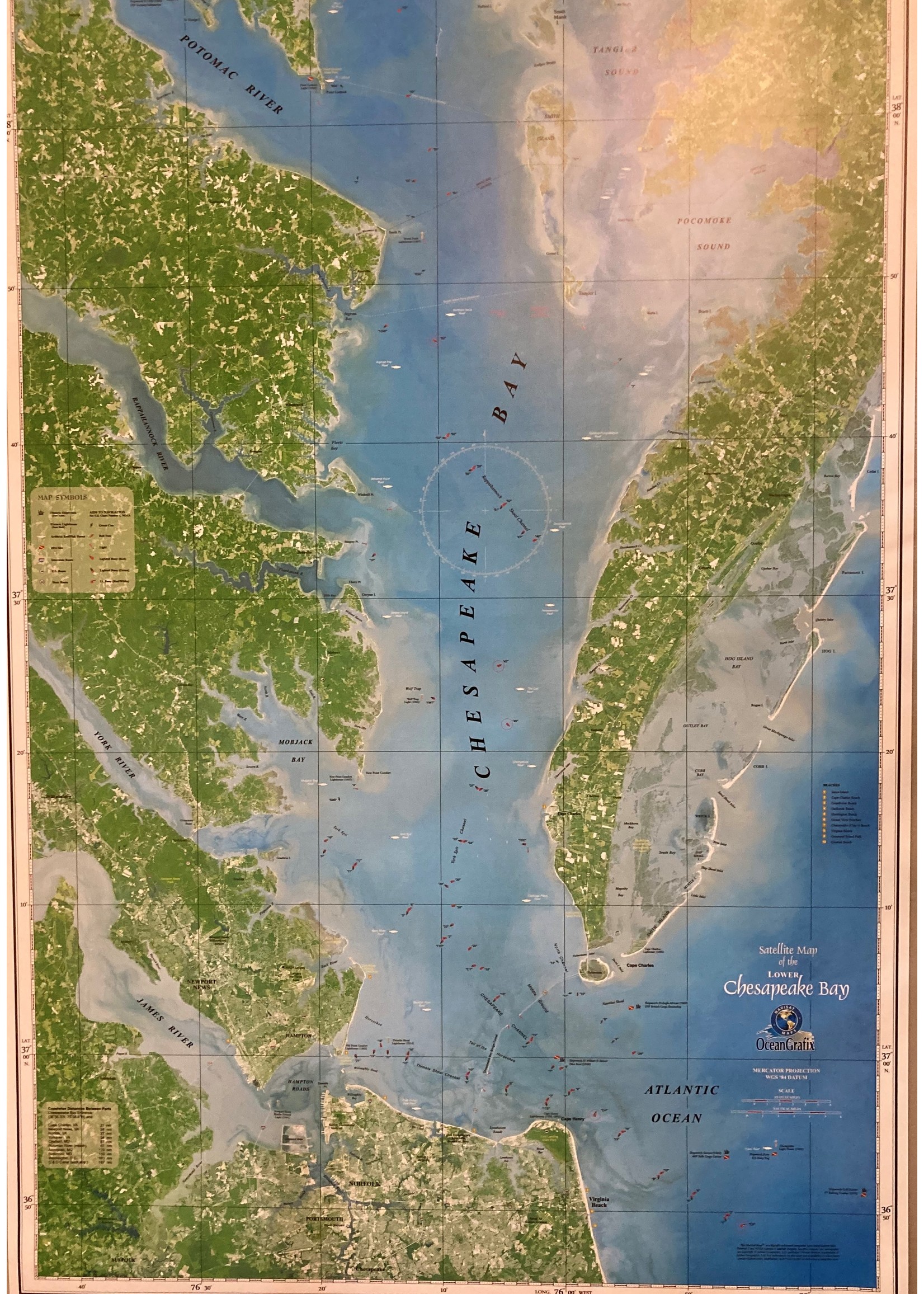
24" X 36" Satellite view of the lower Chesapeake Bay from southern Maryland to Norfolk and the Eastern Shore.
24" X 36" Satellite view of the lower Chesapeake Bay