Shop items related to the Steamboat Era and Chesapeake Bay!
Your cart is currently empty
Product image slideshow Items
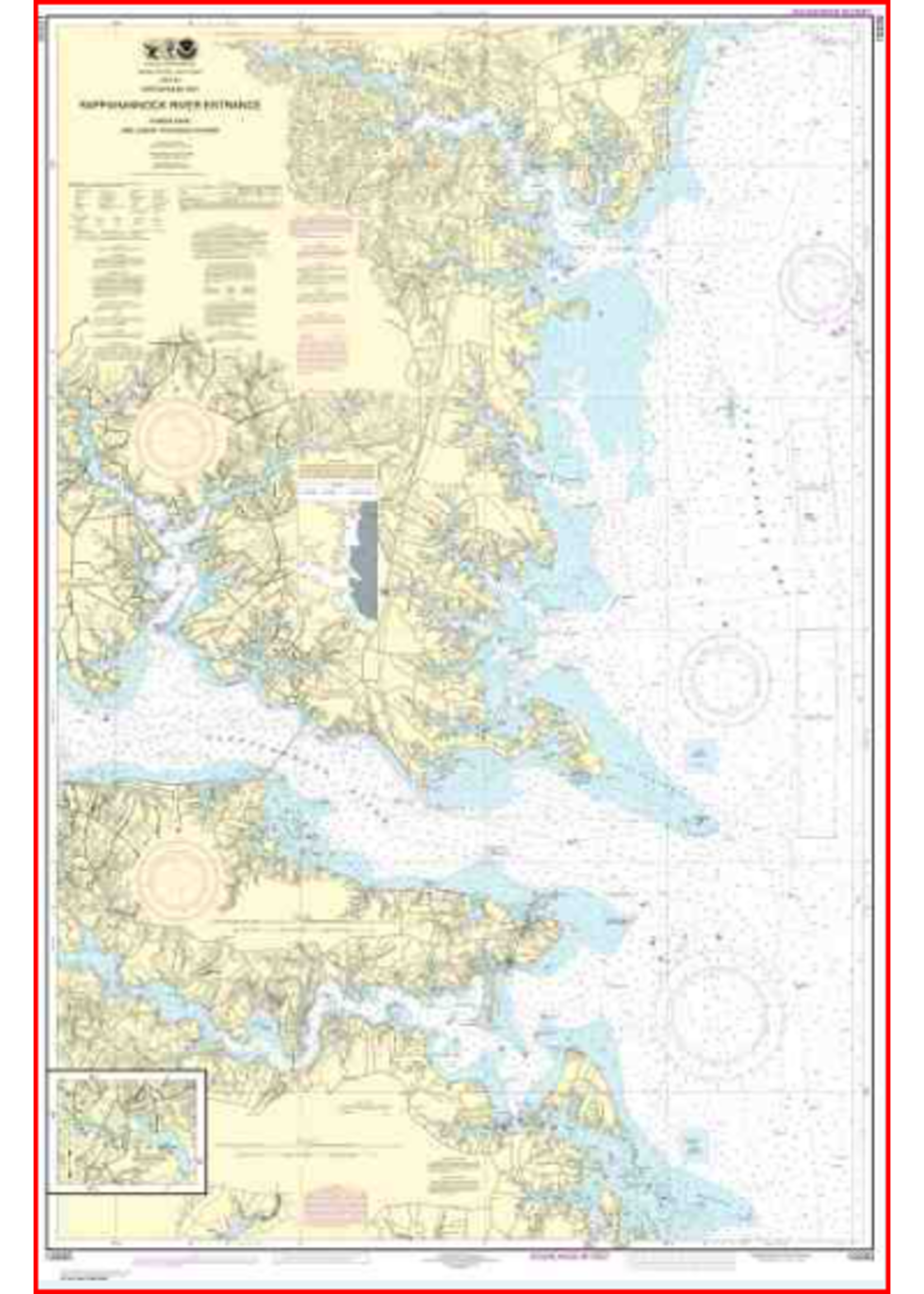
The chart is on paper 36" wide by 48" high with a frameable size of 32.5" wide by 48.5" high. The chart shows the Bay, entrances to the Piankatank River, Rappahannock River and rivers north to the Great Wicomico River. Due to US Postal Regulations, calcu
The chart is on paper 36" wide by 48" high with a frameable size of 32.5" wide by 48.5" high. The chart shows the Bay, entrances to the Piankatank River, Rappahannock River and rivers north to the Great Wicomico River. Due to US Postal Regulations, calculated shipping costs may be high but the chart is available in the Museum Shop for pick-up. The chart you are viewing is NOT updated weekly and does NOT include all of the latest Notice to Mariners corrections.